Discover sites of global importance
Did you know that no less than four areas in South Iceland have been designated as UNESCO areas? That‘s right; we have a UNESCO Global Geopark and three UNESCO World Heritage sites, covering almost 25% of Iceland’s area! Encounter these destinations, and you will quickly see why they are worthy of protection.
How to visit
You can easily see jaw-dropping scenery within a five-minute walk from the car park. Our advice, however, is to take your time and explore further. The visitor centers are always a good first stop, where you get a deeper understanding and appreciation of the destination. From there, you can go for a refreshing hike, relax in the peaceful natural surroundings, or experience a thrilling outdoor activity.
Plan your visit: Outdoor activities | Culture and heritage | Sustainable travel
Where to go
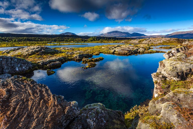
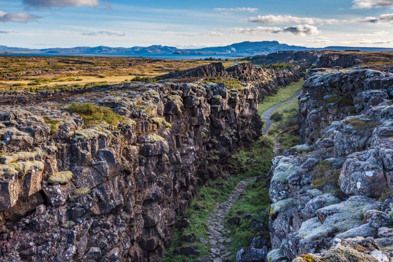
Þingvellir national park
Þingvellir national park is just famous for both its historical and geological significance. It is arguably Iceland‘s most historic site, as the world‘s oldest existing parliament first met here in AD930. This is where Icelanders would gather annually to solve disputes and recite the law of the land for centuries. Geologically, Þingvellir is located in a rift valley between the tectonic plates of North America and Eurasia. The place is characterized by steep rock walls, deep ravines, and pristine lake scenery.
Learn more about Þingvellir
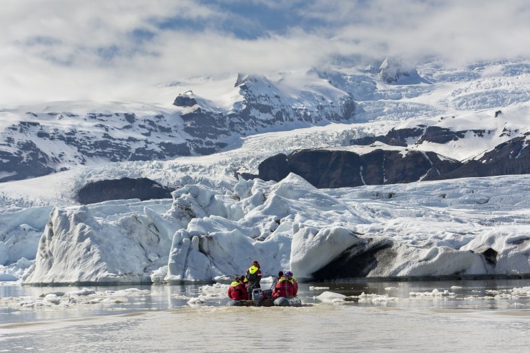
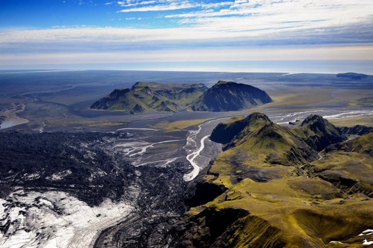
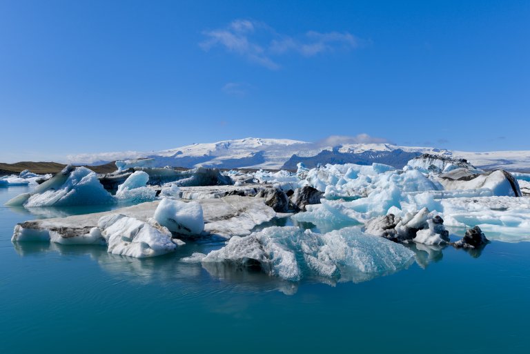
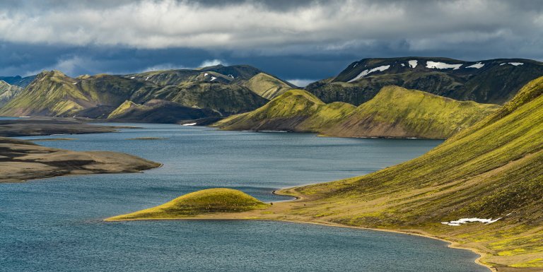
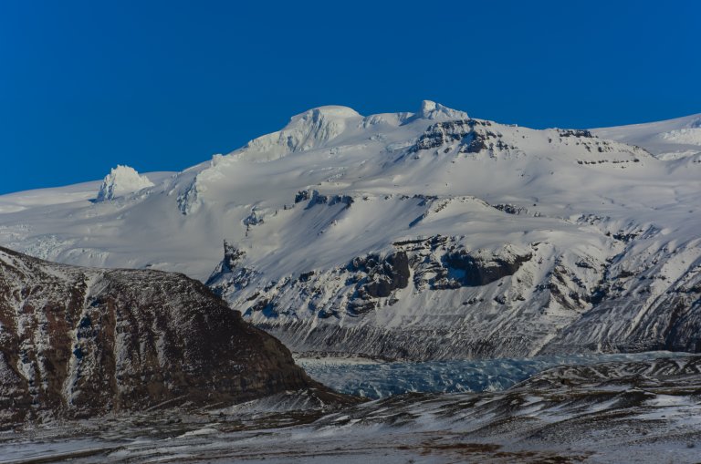
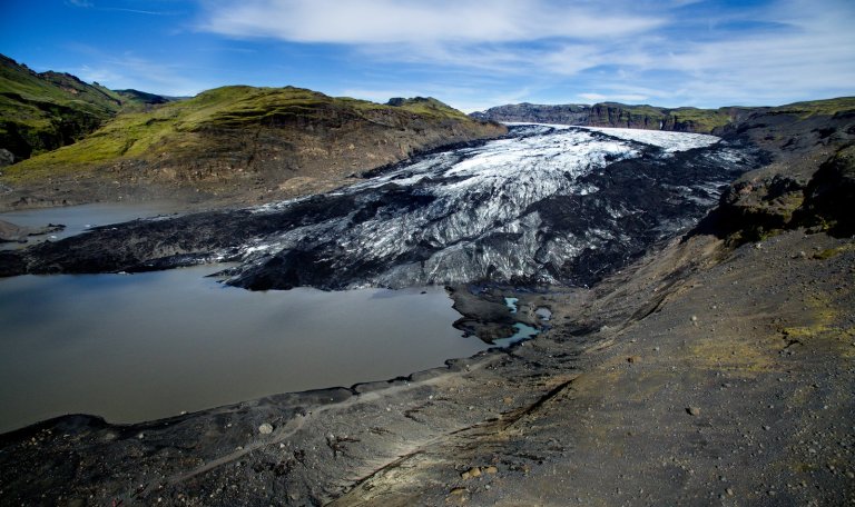
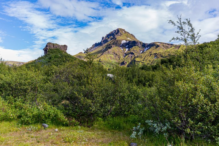
Vatnajökull national park
The immense Vatnajökull National Park covers 15% of Iceland or over 14.000 km2. It is characterized by diversity on all fronts, landscape, biosphere, cultural remains, or service levels. It may be placed into two categories: uninhabited highland areas with limited services and lowland areas with higher service levels. The park‘s visitor centers are all located in lowland areas. Each has an exhibition about the park‘s nature and cultural heritage.
Learn more about Vatnajökull national park
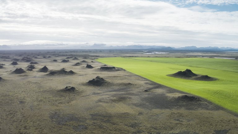
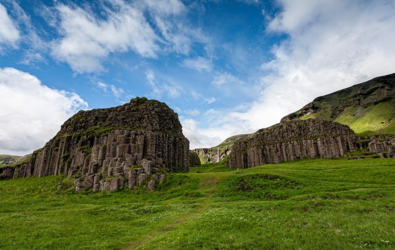
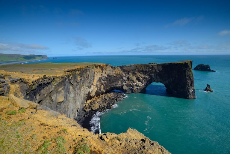
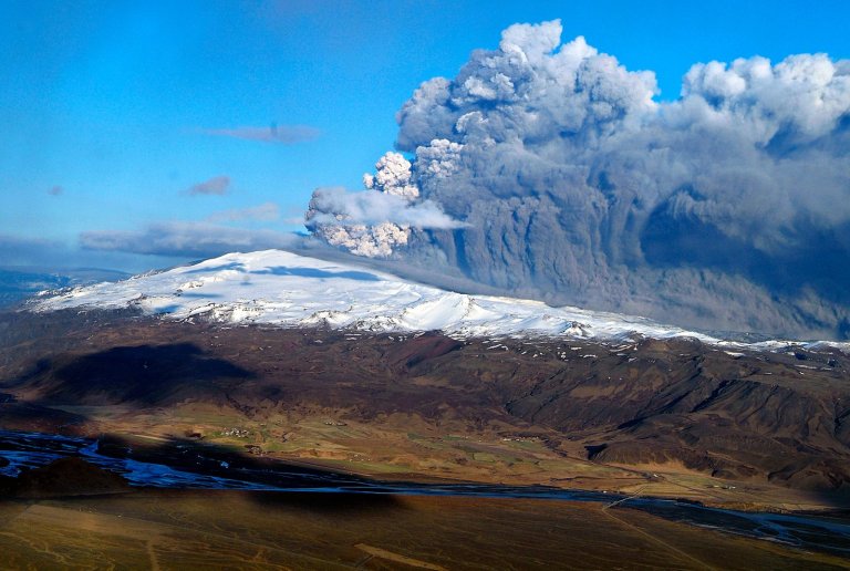
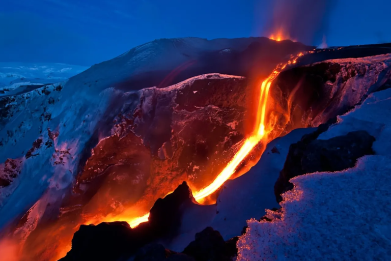
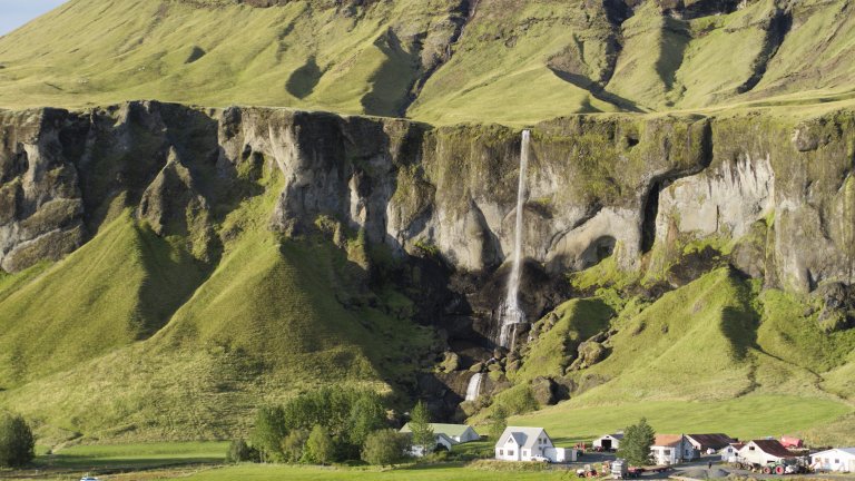
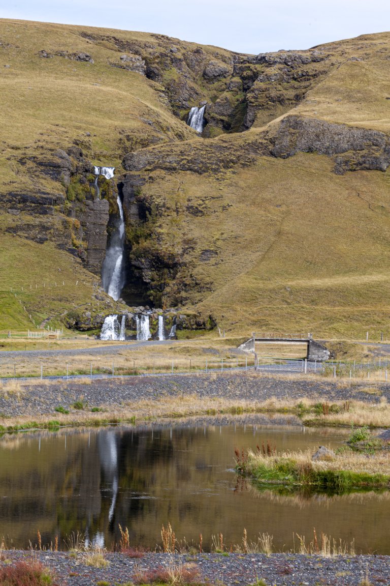
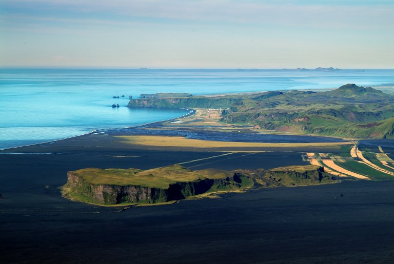
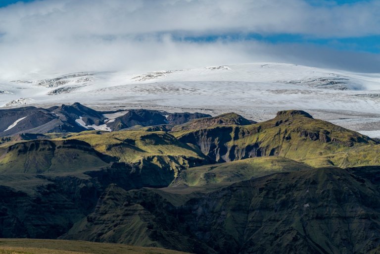
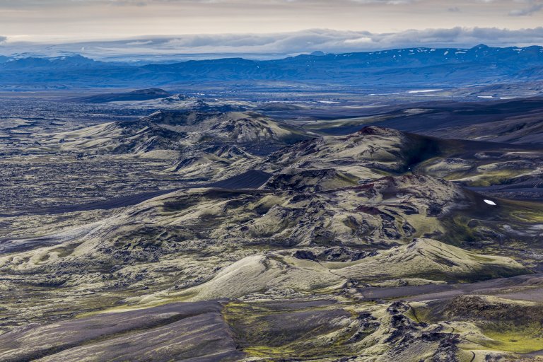
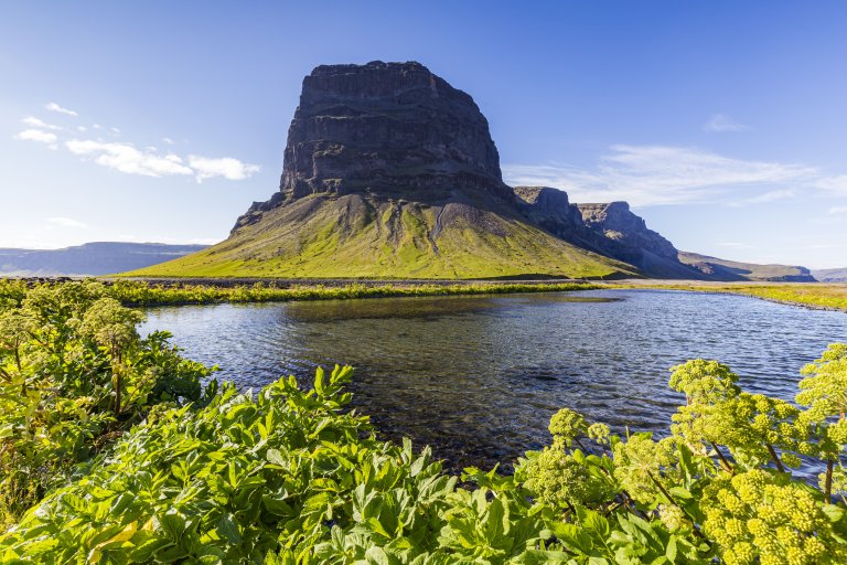
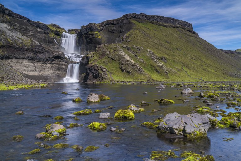
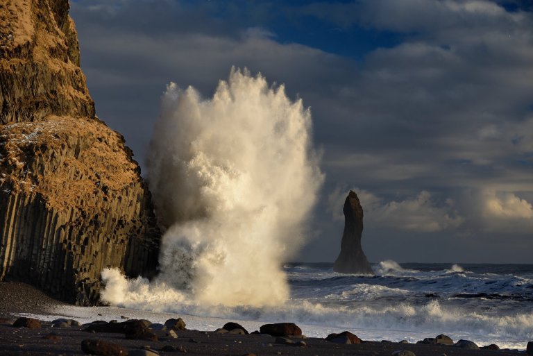
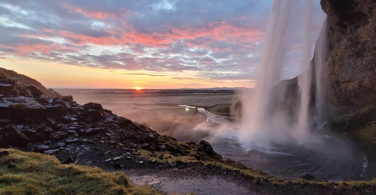
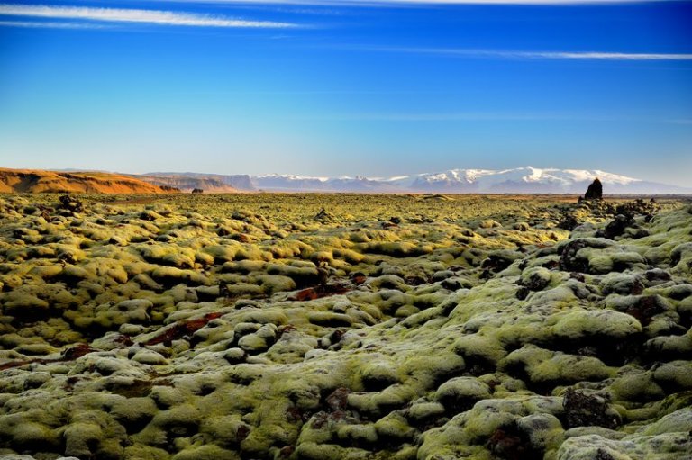
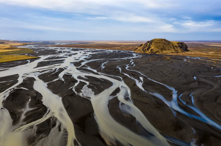
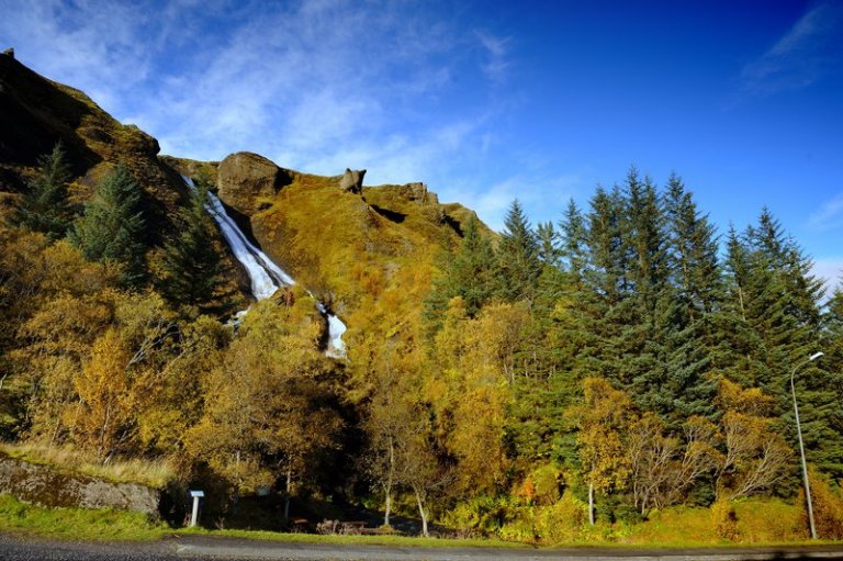
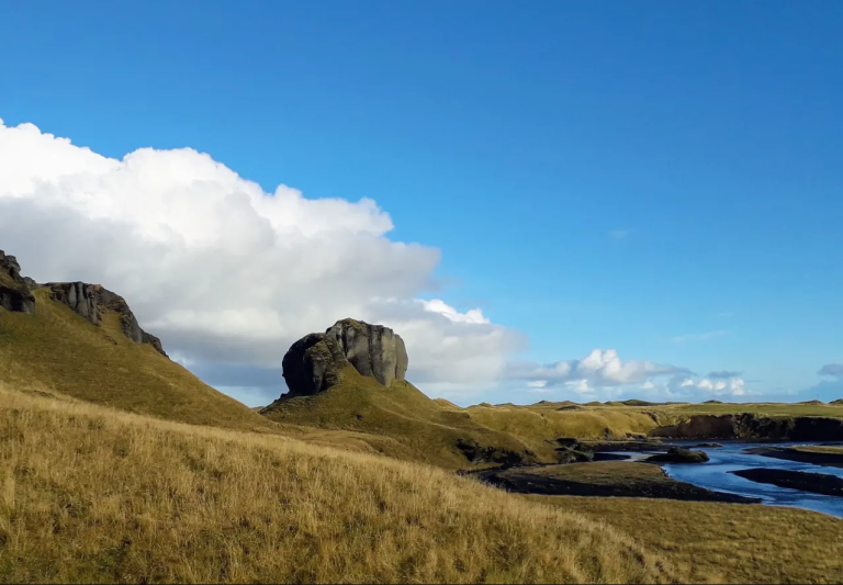
Katla UNESCO Global Geopark
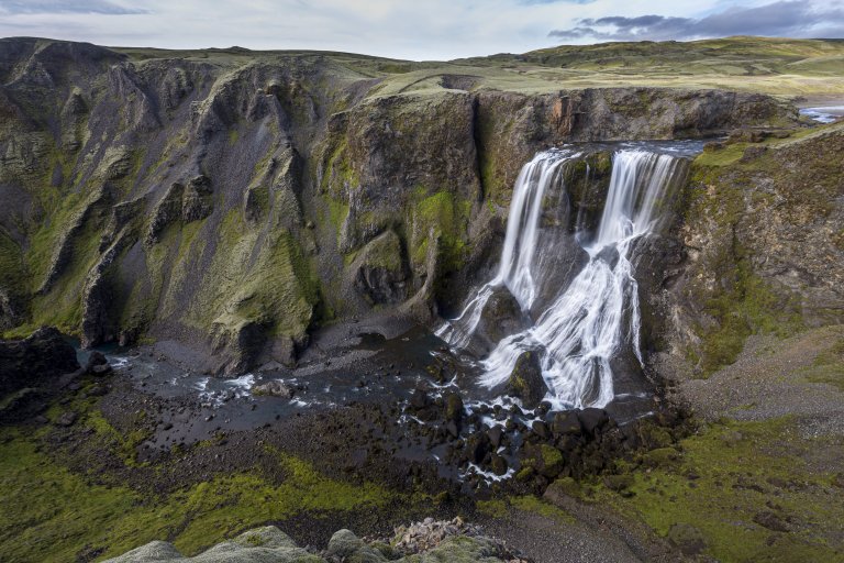
Katla UNESCO Global Geopark covers 9 % of Iceland or just under 10.000 km2. The geopark includes geological features of global significance. Over 150 volcanic eruptions have been recorded in the area since the 9th century, reshaping the landscape and influencing where people settled. You will find many of Iceland‘s top attractions within Katla UNESCO Global Geopark, including Skógafoss, Dyrhólaey, and Sólheimajökull.
Learn more about Katla UNESCO Global Geopark
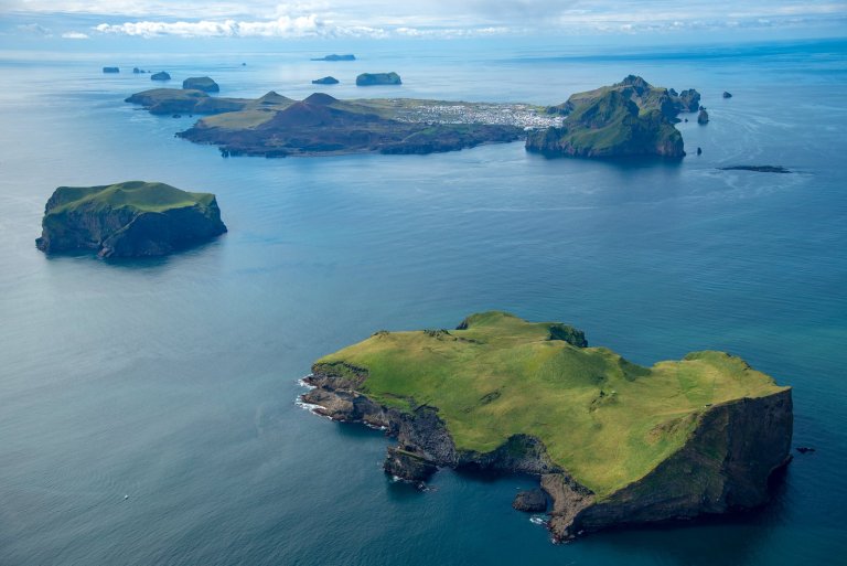
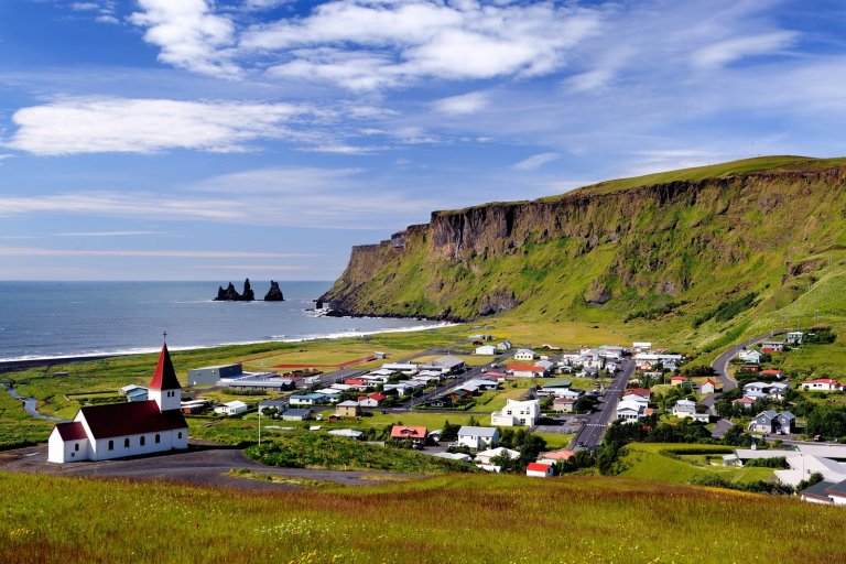
Surtsey island
Surtsey is one of the world’s newest islands, the most filmed and researched, and one of the most restricted. Ever since a volcanic eruption in 1963 heaved it up out of the waters 18km (11 miles) southwest of Heimaey, its progress has been monitored. This has given scientists a fascinating insight into how a new island evolves, how flora and fauna develop, and so on. Because of this, very few people are now allowed to visit the island, and special permits are only granted for scientific research.
Although you will probably never step on Surtsey island, visiting Vestmannaeyjar islands will bring you closer to this unique UNESCO World Heritage site. To learn more about the island, visit the Eldheimar museum.
Learn more about Surtsey island