Discover the vicinity of Lakagígar - stage seven of The Volcanic Way
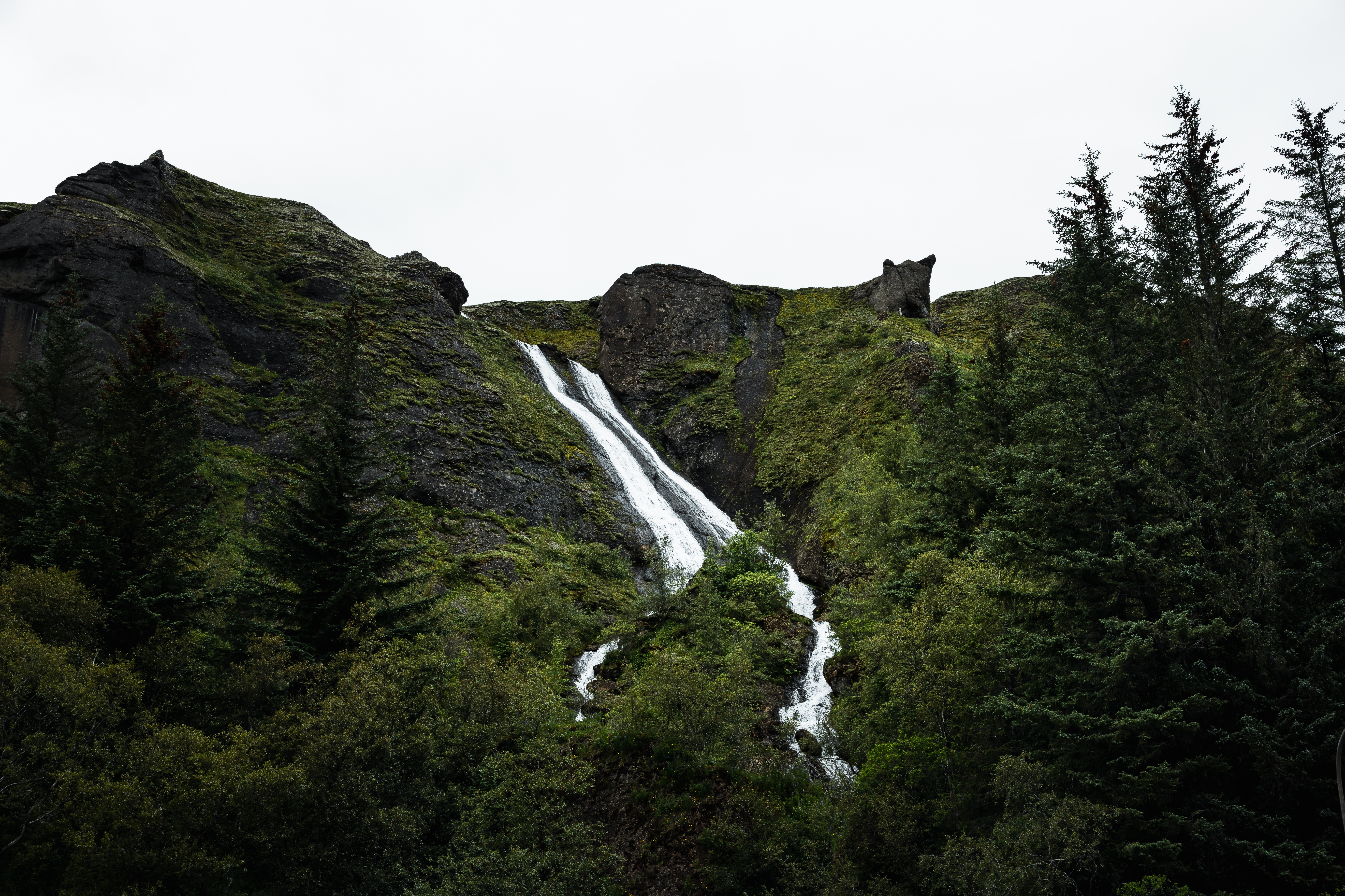
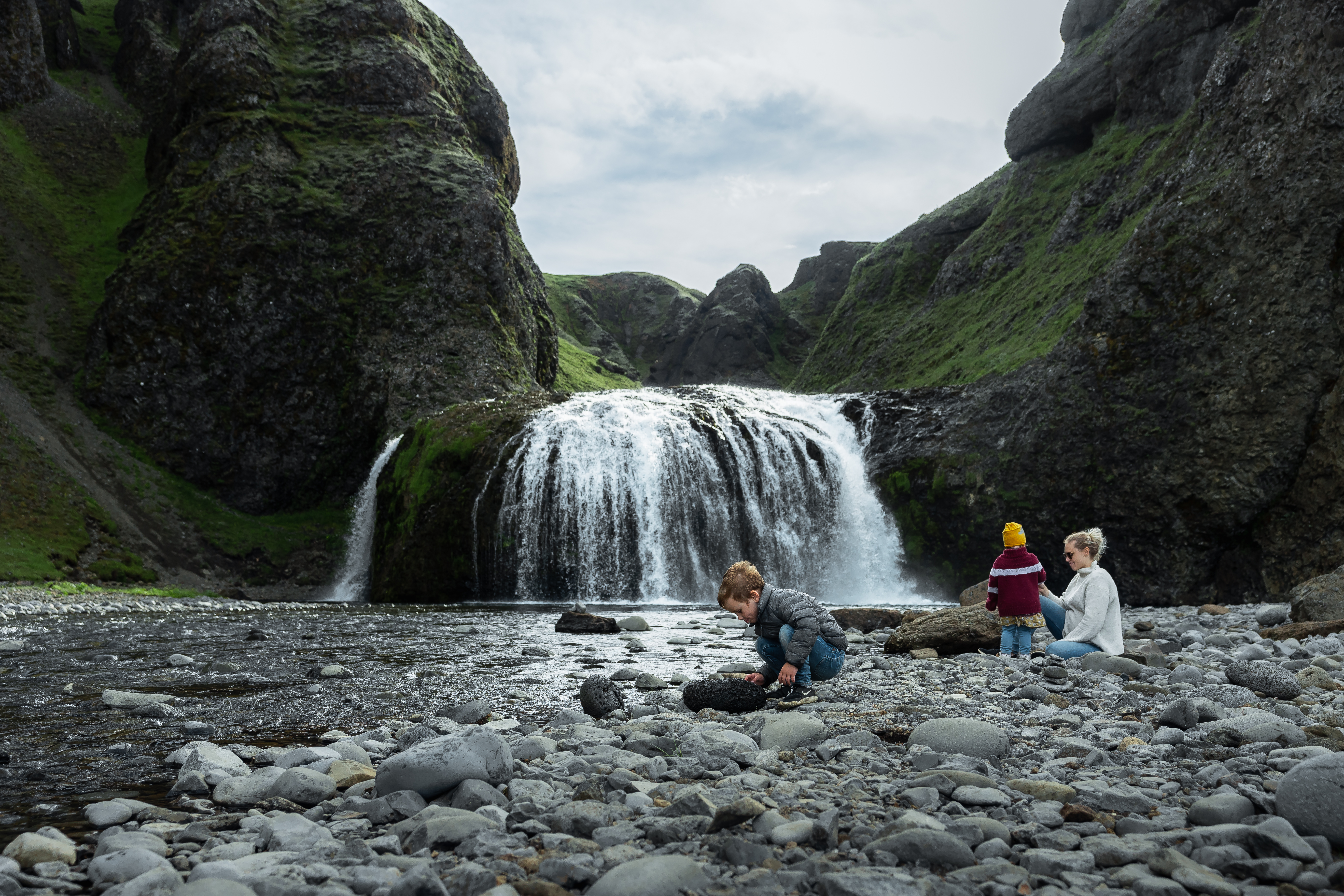
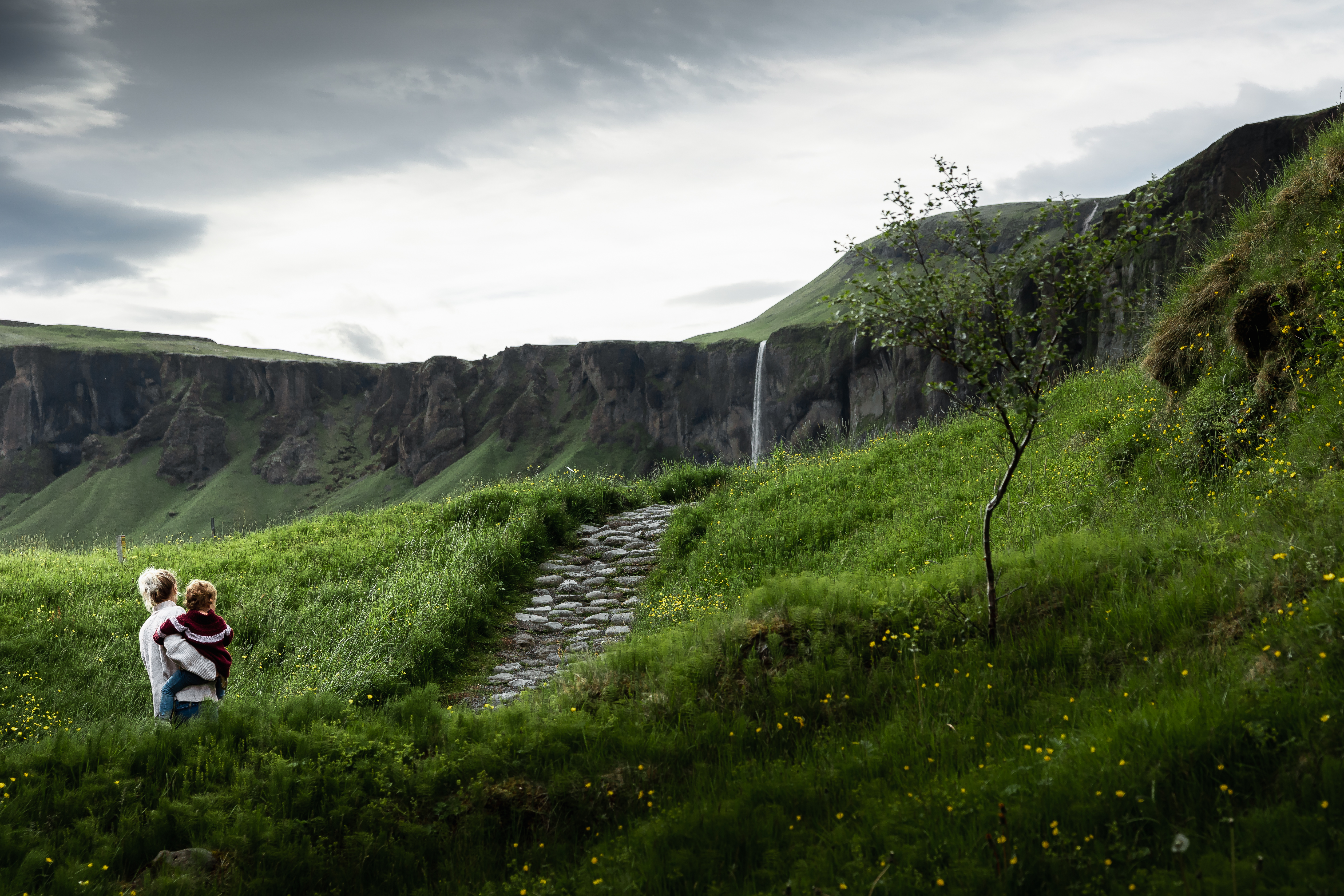
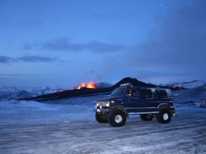
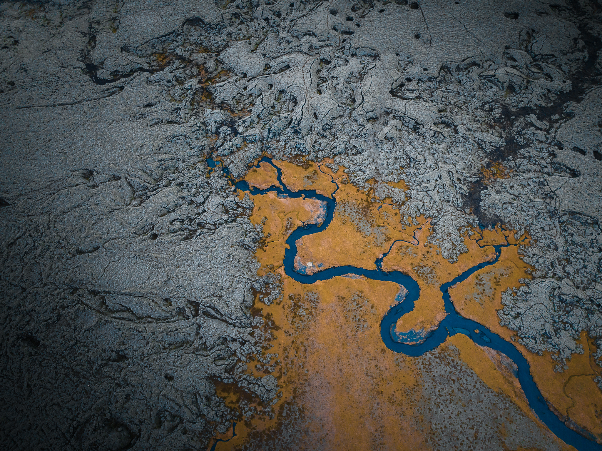
The vast lava fields of the Lakagígar region can seem otherworldly. Two significant volcanic eruptions produced these mystical landscapes: The Eldgjá eruption in the year 934 and the Laki eruption in 1783-84. Now covered by thick moss, the lava fields are bright green when it rains but adorn a grey hue on dry days. Geology and history are tightly knit together in this region, with unique and beautiful spots such as Fjaðrárgljúfur canyon, Dverghamrar basalt columns, and the countless Álftaversgígar pseudo-craters. A jeep tour to Lakagígar or Eldgjá brings you to the volcanic makers of the lava that so characterizes the region.
Learn and discover:
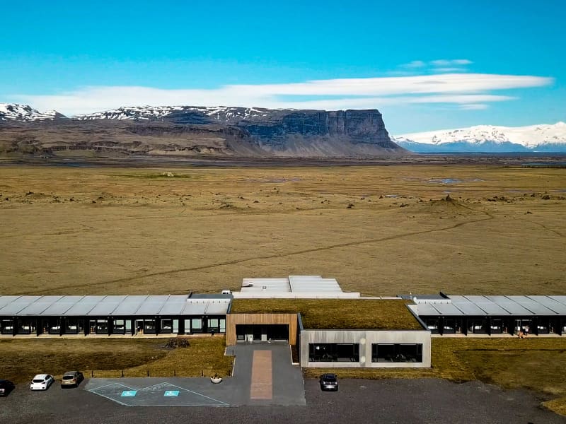
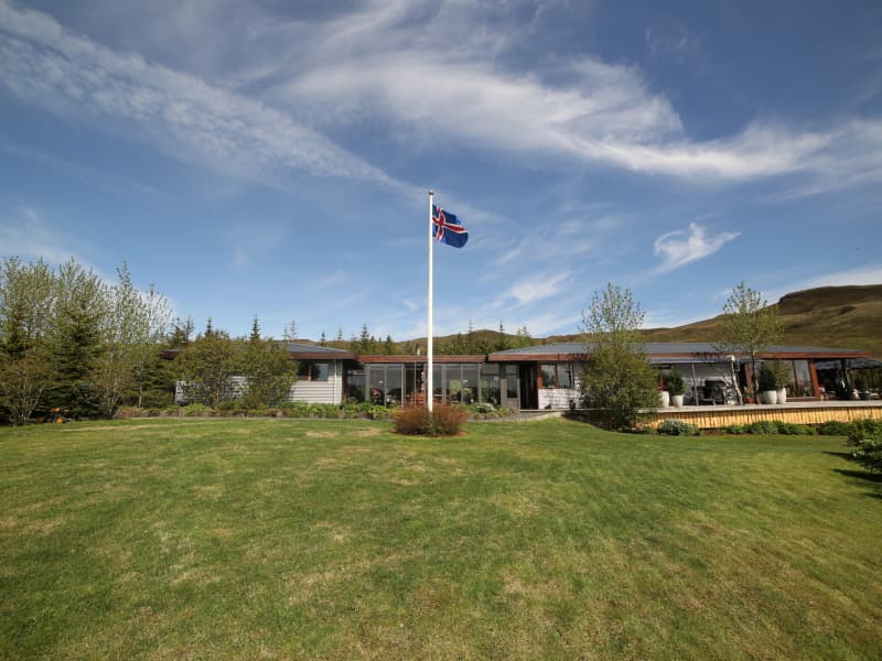
Locals recommend:
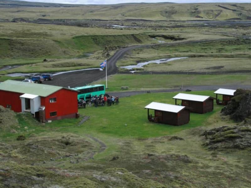
Popular places: