Skip to content
Destinations
Nature
Scenic Nature
Waterfalls
Mountains
Glaciers
The Highlands
Geothermal areas
Geosites
National Parks and Nature Reserves
National Parks
Nature reserves
Recreation areas
Landmarks & Historical places
Historic places
Lighthouses
Churches
Travel Routes
The Volcanic Way
Fagradalsfjall
Hengill
Hekla
Eyjafjallajökull
Eldfell
Katla
Lakagígar
Öræfajökull
FAQ - Volcanic Way
Eight Days, Eight Volcanoes
The Golden Circle
The South Coast
The Lighthouse Trail
Hiking Trails
Towns & Villages
Experiences
Activities
Northern Lights Tours
Glacier- & Winter Activities
Jeep- & Glacier Tours
Snowmobile & Snowcat Tours
Winter Adventure
Cave Exploring
Ice Climbing and Glacier Walk
Skiing
Snowshoeing
Dog Sledding Tours
Outdoor Activities
Horse Activities
Bicycle Tours & Biking Trails
Golf Courses
ATV & Buggy Tours
Zipline
Hiking Tours & Hiking Trails
Bird Watching
City Walk
Running Tours - Running
Team Building and Incentive Tours
Motorcycle Tours
Hunting
Family Activities
Mini-Zoo & Open Farm
Family & Fun Parks
Sightseeing
Sightseeing and Helicopter Flights
Paragliding and Sport Flying
Photo Tours
Water Activities
Kayak Tours / Paddleboarding
Boat Tours
Diving & Snorkeling
River Rafting
Whale Watching
Sea Angling
Angling
Ice Fishing
Shopping
Culture & Heritage
Museums
Exhibitions
Cultural Centres
Visitor Centres
Crafts & Design
Saga & Heritage
Events
Bathing & Wellness
Swimming Pools
Geothermal Baths
Wellness & Spa
Hot Natural Pools
Puffin watching in South Iceland
Northern Lights
The Solar Eclipse 2026
Food & Accommodation
Accommodation
Hotels
Guesthouses
Hostels
Cottages
Farm Holidays
Bed & Breakfast
Glamping
Apartments
Mountainhuts & Cabins
Sleeping bag accommodation
Camping
Food
Restaurants
Cafés
Diners
Pubs & Clubs
Food Traditions in South Iceland
Travel Info
Tour Providers
Travel Agencies
Day Tours
Luxury Tours
Getting around South Iceland
Public Transportation
Car Rentals
Gas Station
Charging Station
Bus Tours
Domestic Flights
Practical information
Tourist Information Centres
Icelandic Weather
Icelandic Water
What to pack for the Season
Travel Blog
Safetravel
Sustainable Travelling
Videos
Maps of South Iceland
FAQ
Map
My favorites
Explore other regions:
North
East
South
Reykjanes
West
Westfjords
Reykjavik
Travel Trade
Íslenska
English
Áfangastaðaáætlun 2024
Search Visit South Iceland
Or try searching by Category and/or Location
Find
Everything
Accommodation
Activities
Bathing & Wellness
Culture & Heritage
Family Activities
Food
Getting around South Iceland
Glacier- & Winter Activities
Landmarks & Historical places
National Parks and Nature Reserves
Nature
Outdoor Activities
Practical information
Sightseeing
Tour Providers
Water Activities
Close to
Anywhere
ÁRNES
ÁSAHREPPUR
BORG
BRAUTARHOLT
EYRARBAKKI
FLÓAHREPPUR
FLÚÐIR
HELLA
HÖFN
HVERAGERÐI
HVOLSVÖLLUR
KIRKJUBÆJARKLAUSTUR
LAUGARÁS
LAUGARVATN
ÖLFUS
REYKHOLT
SELFOSS
SKÓGAR
SÓLHEIMAR ECO-VILLAGE
STOKKSEYRI
ÞORLÁKSHÖFN
ÞYKKVIBÆR
VESTMANNAEYJAR (WESTMAN ISLANDS)
VÍK
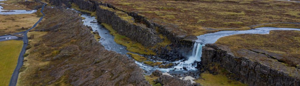
The Golden Circle
English
/
Destinations
/
Towns & Regions
Towns & Regions
The Golden Circle Area - Explore Iceland's Famous Route
Get to know more
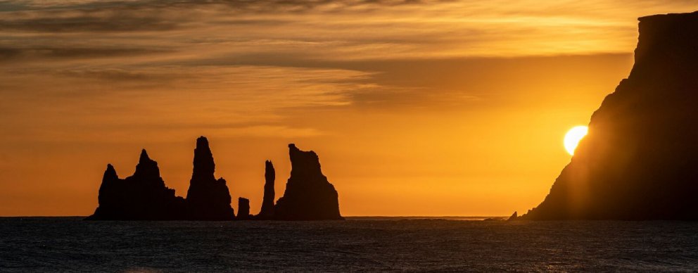
Katla Geopark & Vestmannaeyjar
Get to know more
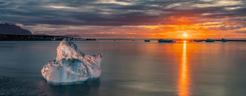
The Vatnajökull Region
Get to know more