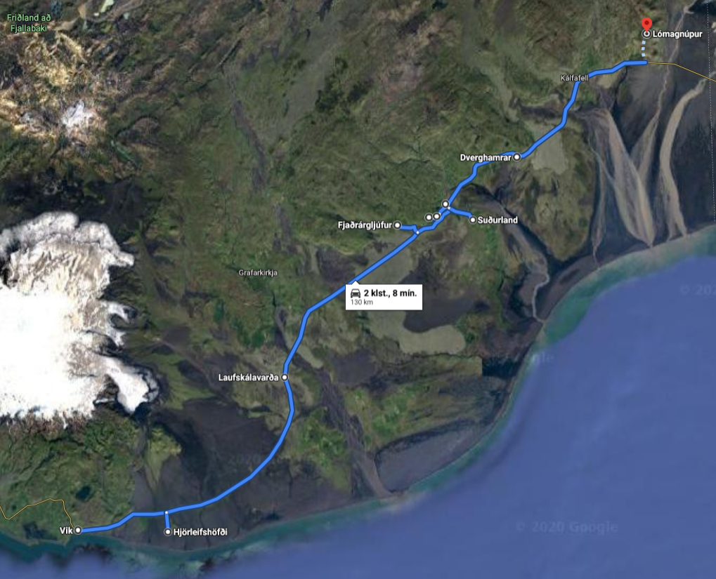
Geosites near the Ringroad - 1-2 day route
Many famous geosites are within Katla Geopark and everybody should be able to find an interesting site as the variety is high. Within the geopark, there are several central volcanoes, high rising mountains, beautiful waterfalls, moss-covered lava fields, and large black beaches. The geosites listed here are all close to the Ringroad (road nr. 1) and are easily accessible for most people. There are numerous other geosites within the geopark, along with museums, exhibitions, and shows, and we encourage you to have a look at them as well. This route goes from the town of Vík to just east of the town of Kirkjubæjarklaustur. It takes about two hours to drive the route, but with the stops, it is a full-day tour. This route can also be turned into a two-day route by incorporating other routes into it. There are many hotels, hostels, cabins, and camping sites near the route, so finding a place to stay should not be difficult.
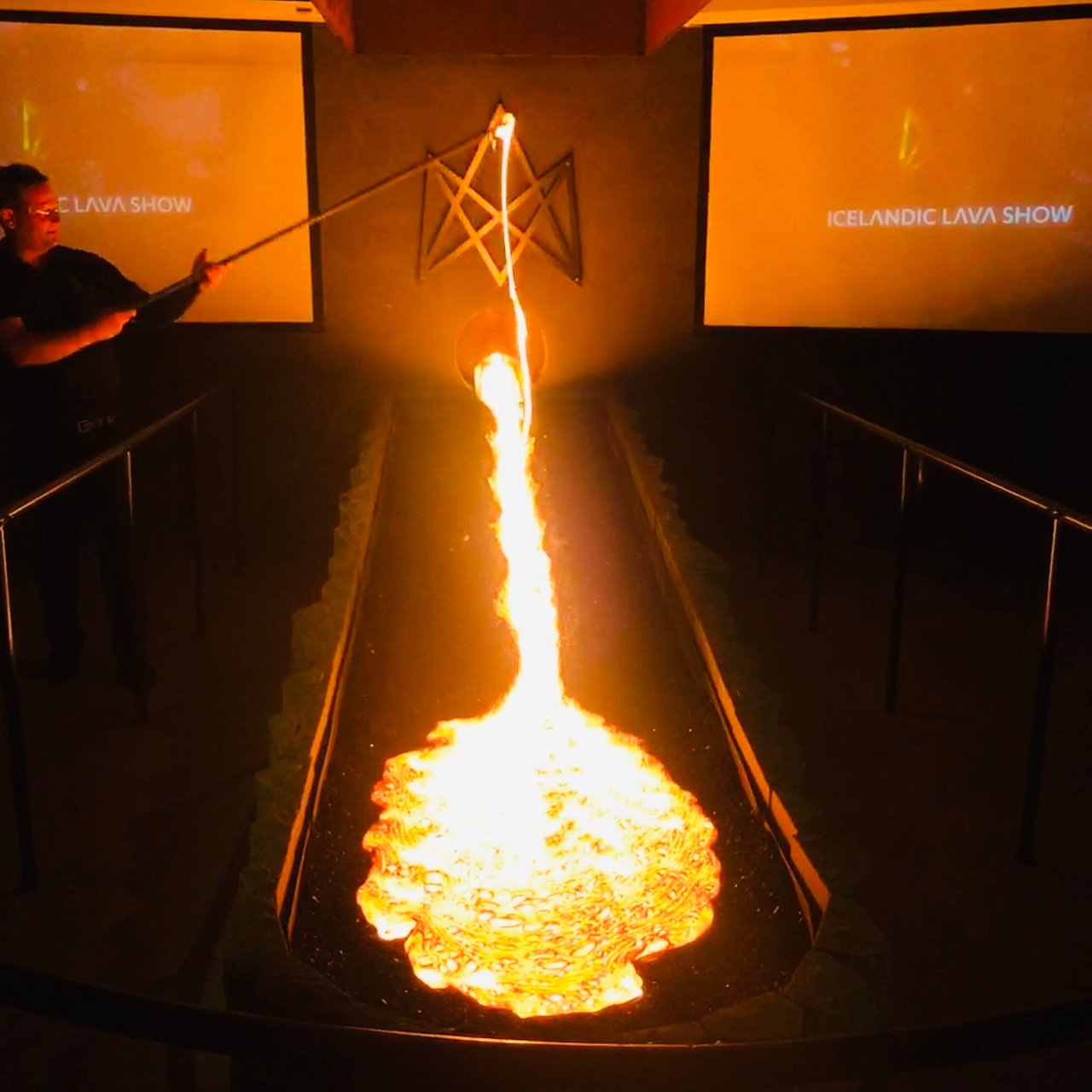
Town of Vik
There are many things to be done in the town, we recommend the Lava Show and the exhibition at Katla Centre, but if you want more outdoor activity you can go zip lining or horse riding. The beach at Vík is always fun to visit as well, and there is a campground and a swimming pool in the town.
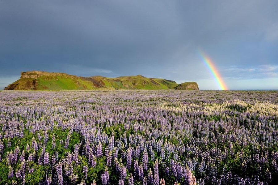
Hjörleifshöfði
is one of the most beautiful tuya (Table Mountain) in Iceland and has a long history. There is a small carpark on the west side, and a nice hiking trail that leads up to the top starts from there. The view from the tuya is great on a sunny day. It is worth checking out a large cave on the south side of the tuya as well.
Laufskálavarða is a lava ridge with hundreds of small kerns and a beautiful view. The small kerns were made by people who were crossing the Mýrdalssandur sandplain for the first time as it was supposed to bring good luck on the journey. The area is protected, so do not build new kerns!
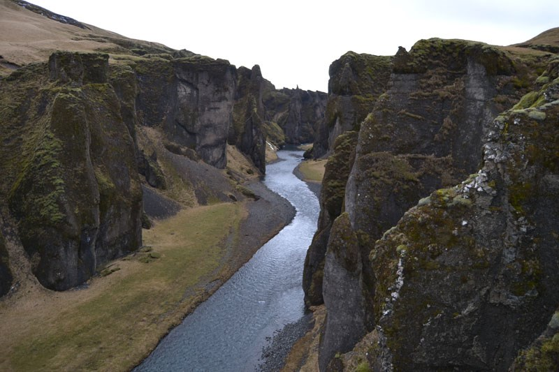
Fjaðrárgljúfur is a canyon with beautiful palagonite formations. The canyon was formed by glacial rivers eroding the rock face at the end of the last glaciation in the area. It is possible to walk along the edge of the canyon and take in the view from above.
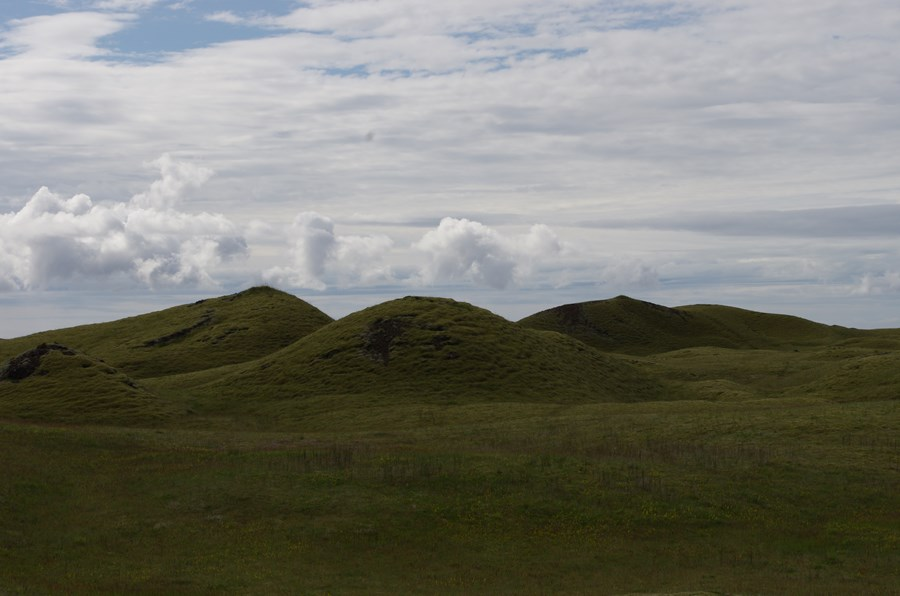
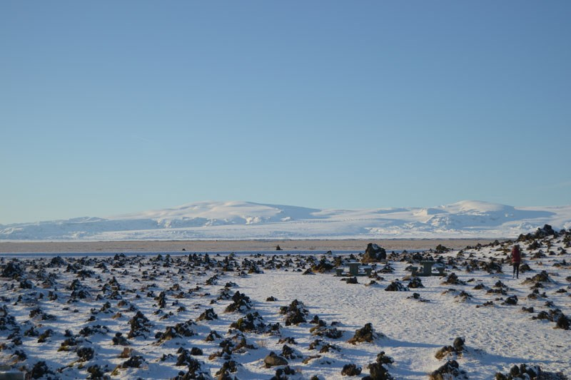
Landbrotshólar are rootless cones that formed in an eruption from Eldgjá around the year 939. Rootless cones form when lava flows over wetlands, resulting in high steam pressure that eventually breaks its way through the lava, forming a pile on the surface.
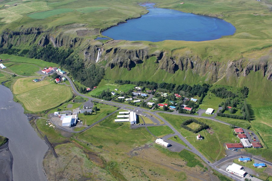
Town of Kirkjubæjarklaustur
The town is surrounded by natural beauty on all sides, including waterfalls, lava fields and there are plenty of hiking trails available in the vicinity. There is a swimming pool, a campground, and gas stations in the town and we recommend checking out Skaftárstofa info center as well.
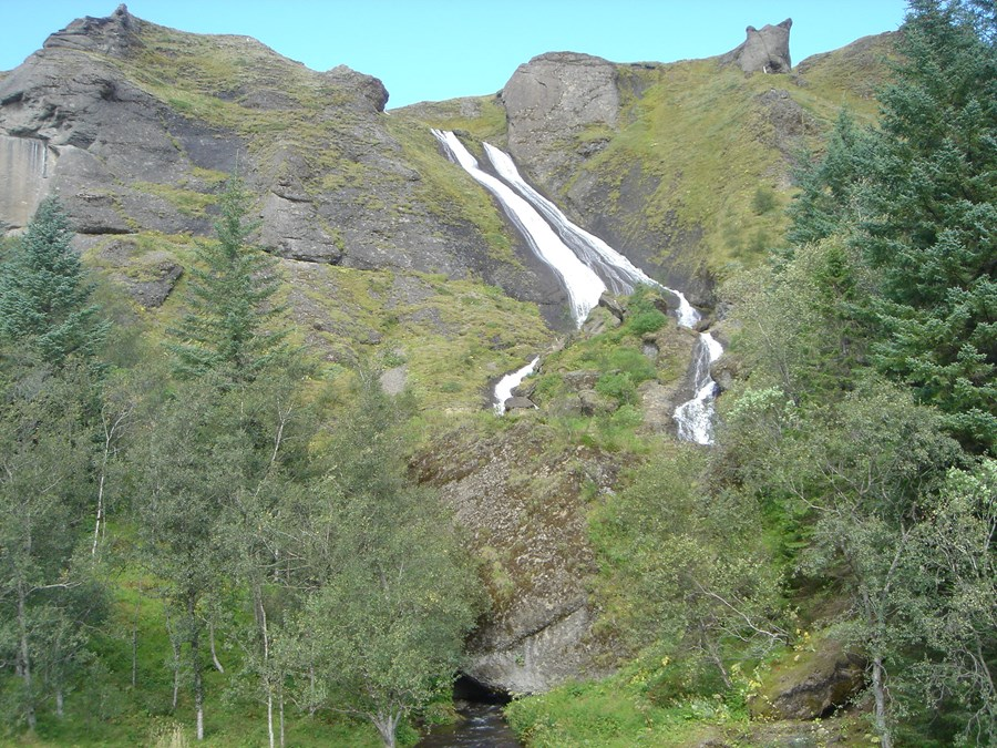
Systrastapi
is a large rock west of the town of Kirkjubæjarklaustur. A small lake is on top of the mountain next to Kirkjubæjarklaustur and the river Fossá flows from it. The river cascades down the rock face in the middle of the edge of town, forming a beautiful waterfall called Systrafoss.
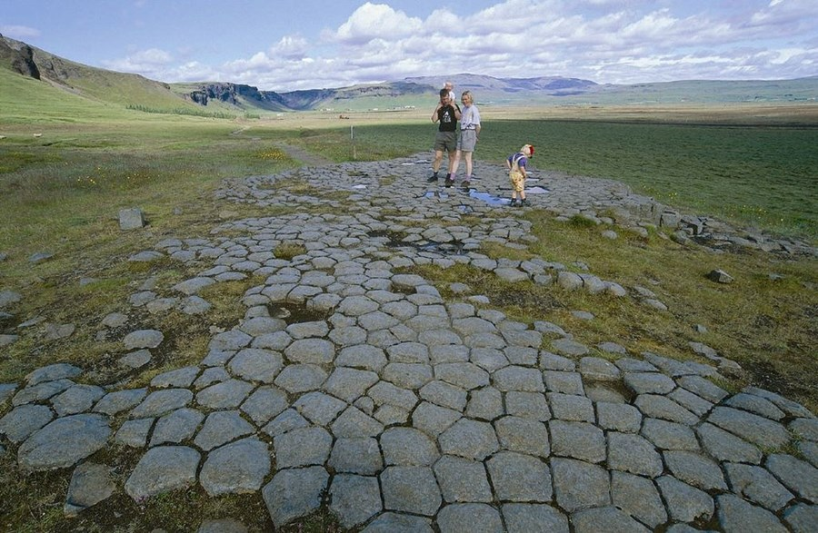
Kirkjugólf
Kirkjugólf, or church floor, is in a field just north of the town of Kirkjubæjarklaustur. This is about a 60 m2 flat collection of basalt columns that has been glacial and wave eroded. The top of each column is visible, giving a different and fun view of them.
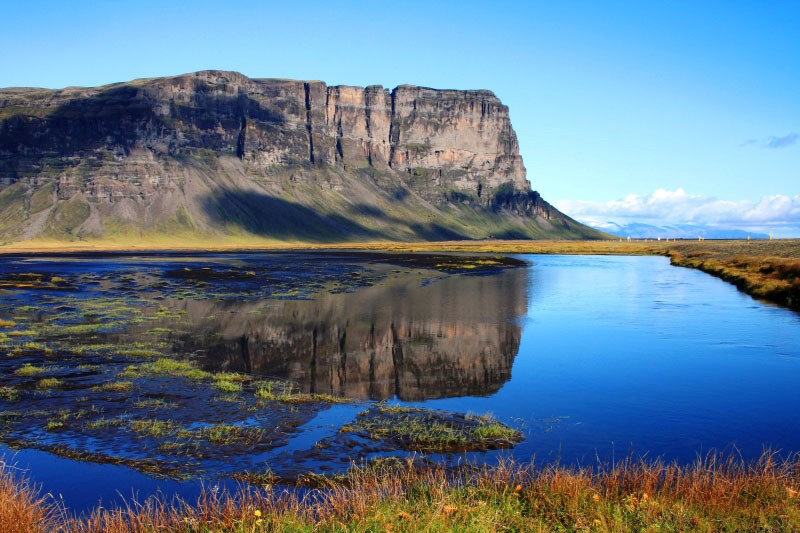
Lómagnúpur is a 767-meter high mountain rising over the lower-lying areas to the east of Kirkjubæjarklaustur. The area is known for its natural beauty as volcanoes, glaciers, and rivers have shaped the landscape there. The area offers great views over glaciers, glacial rivers, black sands, and mountains.
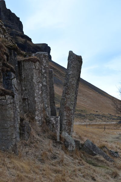
Dverghamrar is a rock face with peculiar, but magnificent-looking, basalt columns. This area, as large parts of the south coast were, was sculpted by glaciers and then by wave erosion at the end of the last glaciation in Iceland.
For more information about the waterfalls, geosites, and available accommodation, please visit www.katlageopark.com
Here you can get a printable version of the route.